
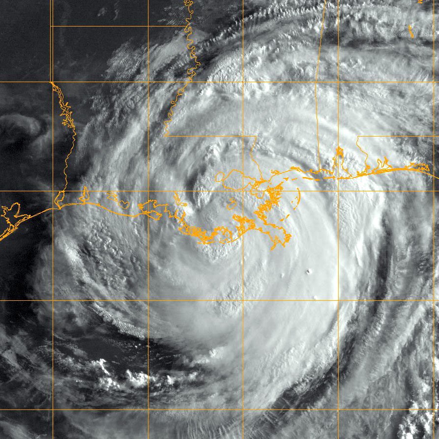
The Cyclone Global Navigation Satellite System
A constellation of 8 micro-satellites with Delay Doppler Mapping instrument (bi-static radar sensing via GPS).
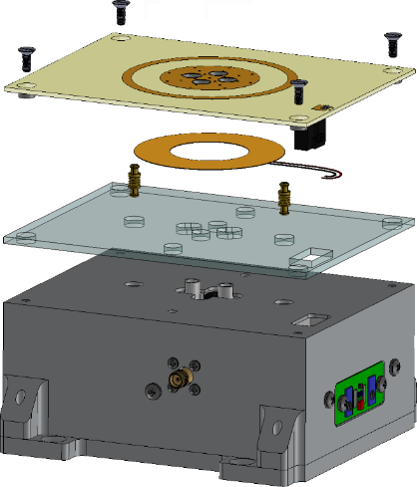
Utilizes a microwave resonator to detect the frequency shifts indicative of water, ice, and brine in designated soil patches.
Wideband Autocorrelation Radiometry
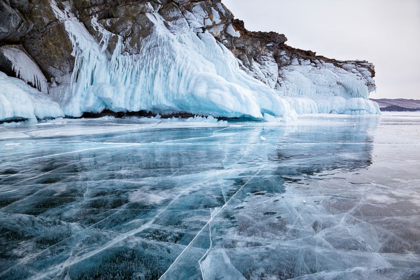
Utilizes passive microwave propagation times to measure snow and ice pack thickness.