
The Cyclone Global Navigation Satellite System
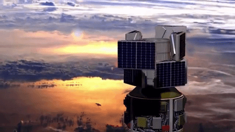
NASA’s animation of CYGNSS deployment
Summary
Mission: Earth observation of tropical cyclones
Challenge: Improve the accuracy of tropical cyclone strength prediction, especially at landfall
Solution: Constellation of 8 micro-satellites with Delay Doppler Mapping instrument (bi-static radar sensing via GPS)
Value: Demonstration of a new measurement technique for strength prediction that can be done remotely and more accurately, improving predictions of storm intensity and ultimately saving lives
Lab: SPRL
Key CYGNSS Technology:
- GSE
- Torque rods
- Instrument data processing into Delay Doppler Maps and other science data products
- Key CYGNSS Management:
- Financial management
- SOC
Scientific Objective
 Existing satellites can’t see through storm clouds, but a new constellation of satellites can.
The date is August 29, 2017, and the place of focus for the 8 CYGNSS micro-satellites is the Gulf of Mexico and especially the Louisiana Coast. Twelve years after Katrina, and without flying an airplane into the turbulent clouds, what is the strength of tropical cyclone activity look like in the surf zone near New Orleans?
The CYGNSS observatories are designed to look through the clouds, no matter how stormy, down to the ocean surface to measure the disturbances from surface winds. A constellation of eight micro-satellites in low Earth orbit uses a bi-static radar concept, where each observatory measures four direct and reflected GPS signals, giving 32 total measurements. The measurements are downlinked, correlated, and compared at the University of Michigan Climate and Space Research Building into a Delay Doppler Map, which provides a measure of the cyclone intensity.
SPRL Contributions
- Mission Principal Investigator, Chris Ruf, a professor of Climate and Space Science and Engineering
- Program Financial Management
- Spacecraft Operations Facility for processing the measurements into Delay Doppler Maps and other science data products
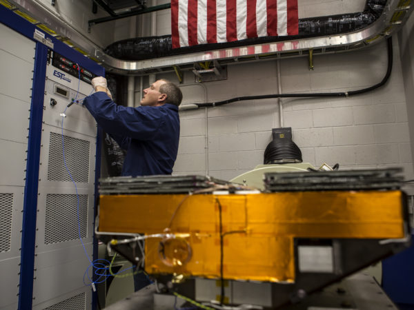
- Development and test of the Structural/Thermal Model for each observatory
- 24 custom designed and manufactured flight Magnetic Torque Rods used as part of the attitude control system of each observatory
- GPS Signal Simulator, which provides a GPS direct and reflected signal simulation that mimics the expected conditions from an actual cyclone, used to test the end-to-end instrumentation and processing